Compile land survey data, draw maps and customize various resources.
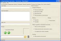
Make common calculations.
It is used to calculate geodetic distance and azimuth between two points.
It allows the adjustment and quality control of 3D, 2D and 1D geodetic networks.
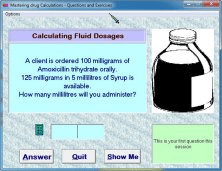
This has been a popular program for learning drug calculations.